python+cartodb+ExifRead 打造自己的大数据照片map
日期:2014-05-16 浏览次数:21164 次
python+cartodb+ExifRead 打造自己的大数据照片地图
简单的来说,就是我们可以创建包含位置信息的内容到上面去。
也就是
几度几分几秒的形式,我们需要转换为
具体的大致就是
也就是我们需要将second/60,还有minutes/3600。
做为一个程序员,整天在讨论什么算法,什么数据,有时候也应该为自己打造自己的数据,可视化自己的数据。这次我们用的是python,当然还有CartoDB,我们要生成的是一个在线的地图数据
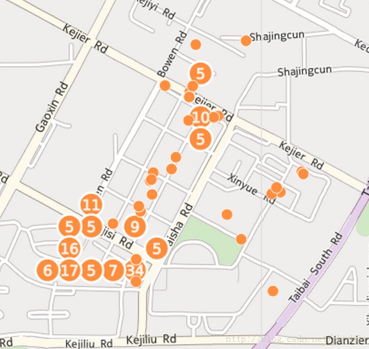
最后结果见
dream|Phodal
EXIF
可交换图像文件常被简称为EXIF(Exchangeable image file format),是专门为数码相机的照片设定的,可以记录数码照片的属性信息和拍摄数据。
EXIF信息以0xFFE1作为开头标记,后两个字节表示EXIF信息的长度。所以EXIF信息最大为64 kB,而内部采用TIFF格式。
ExifRead
来自官方的简述
Python library to extract EXIF data from tiff and jpeg files.
ExifRead安装
pip install exifread
ExifRead Exif.py
官方写了一个exif.py的command可直接查看照片信息EXIF.py images.jpg
CartoDB
简介
Create dynamic maps, analyze and build location aware and geospatial applications with your data using the power using the power of PostGIS in the cloud.简单的来说,就是我们可以创建包含位置信息的内容到上面去。
打造自己的大数据照片地图
细节可见
python+cartodb+ExifRead python打造自己的小数据照片地图
主要步骤如下
- 需要遍历自己的全部图片文件,
- 解析照片信息
- 生成地理信息文件
- 上传到cartodb
python 遍历文件
代码如下,来自于《python cookbook》import os, fnmatch
def all_files(root, patterns='*', single_level=False, yield_folders=False):
patterns = patterns.split(';')
for path, subdirs, files in os.walk(root):
if yield_folders:
files.extend(subdirs)
files.sort()
for name in files:
for pattern in patterns:
if fnmatch.fnmatch(name, pattern):
yield os.path.join(path, name)
break
if single_level:
breakpython 解析照片信息
由于直接从照片中提取的信息是[34, 12, 51513/1000]
也就是
N 34? 13' 12.718
几度几分几秒的形式,我们需要转换为
34.2143091667
具体的大致就是
def parse_gps(titude):
    first_number = titude.split(',')[0]
    second_number = titude.split(',')[1]
    third_number = titude.split(',')[2]
    third_number_parent = third_number.split('/')[0]
    third_number_child = third_number.split('/')[1]
    third_number_result = float(third_number_parent) / float(third_number_child)
    return float(first_number) + float(second_number)/60 + third_number_result/3600
也就是我们需要将second/60,还有minutes/3600。
python 提取照片信息生成文件
免责声明: 本文仅代表作者个人观点,与爱易网无关。其原创性以及文中陈述文字和内容未经本站证实,对本文以及其中全部或者部分内容、文字的真实性、完整性、及时性本站不作任何保证或承诺,请读者仅作参考,并请自行核实相关内容。